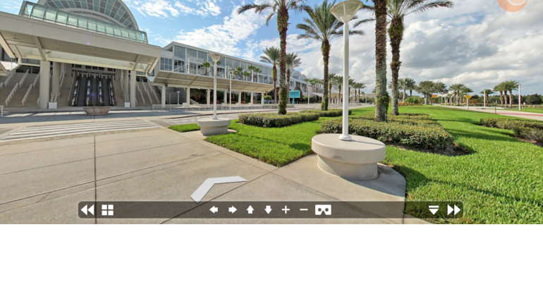
With 7 million square feet of space, a tour of Orlando’s Orange County Convention Center is tough on the tootsies. Planners thinking about holding an event at the country’s second largest convention center can save their soles with a new online research tool: a virtual-reality–enabled 3D interactive map.
Powered by the atlas3D platform from concept3D, the system enables planners to virtually explore the OCCC's facilities, surroundings, meeting rooms, and breakout spaces through 360-degree panoramic images on their desktop or mobile devices.
Using atlas3D's MapSpacer, a space-selection and event-planning application, planners can take a close look at individual meeting spaces using VR-enabled photospheres, images, and 3D models. A SketchUp extension allows planners work with OCCC staff to design a custom space layout, pulling from available inventory of tables, chairs, and equipment; view the results in 2D or 3D; then submit them for cost proposals.
Conference attendees can also use the interactive tool to find their way to OCCC, locate parking, event spaces, vendors, and restrooms, and also explore the surrounding area to find nearby hotels, restaurants, and amenities.
“It’s incredibly exciting to be the first convention center in the world to offer MapSpacer,” says Orange County Convention Center Executive Director Kathie Canning. “atlas3D’s interactive map and panoramic, VR-ready virtual tours beautifully profile all that OCCC has to offer, and the platform is ideal for marketing our space as well as for promoting the many on- and off-site hotels, attractions, and partners that further improve the attendee experience.”


